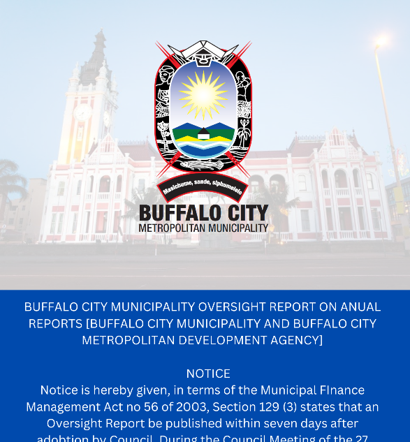
Notice is hereby given, in terms of the Municip..
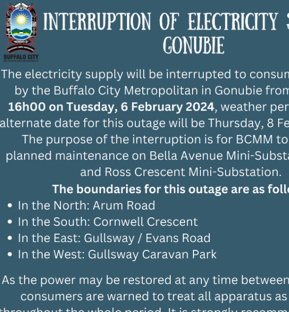
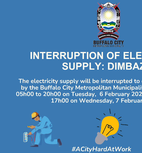
The electricity supply will be interrupted to c..
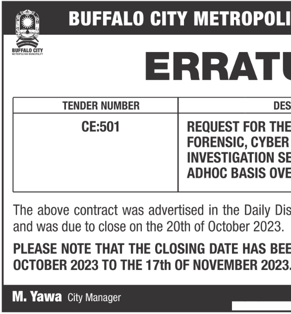
REQUEST FOR THE APPOINTMENT OF PANEL OF FORENSI..
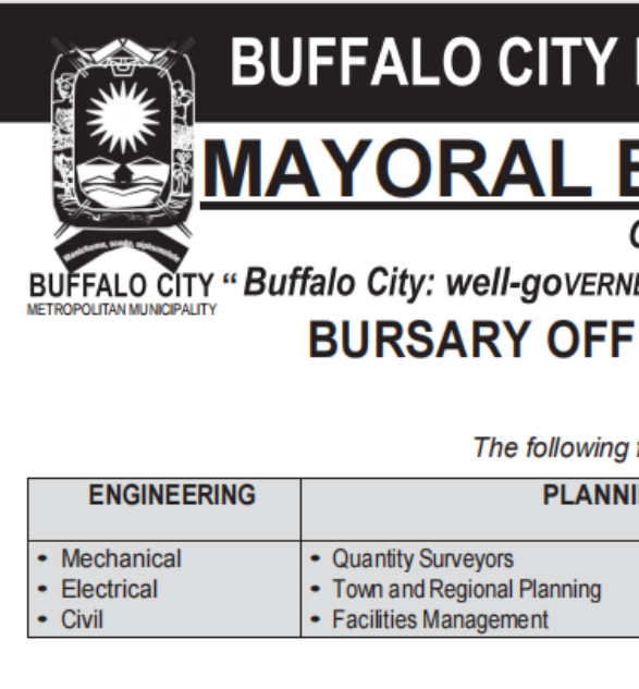
BURSARY OFFERED FOR ACADEMIC YEAR 2024
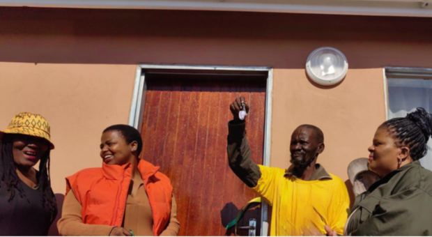
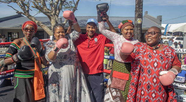
JUBILATION AS THE ELDERLY RECE...
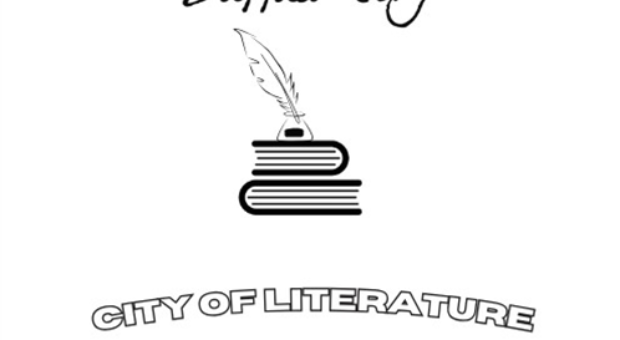
World Book and Copyright Day -...
TOUCHING LIVES IN NCERHA AND D...
(043) 705 9000 Available 24/7
(043) 722 0660 Mon-Fri: 08:00 - 16:30 (086) 111 3017 After Hours
(043) 722 1819 (043) 722 1836
SAVE WATER CAMPAIGN
Official posted vacancies please use this link.
Check available tenders on this link.
Documents library is accessible in this link.
More about Municipality please follow this link.
To access this service please follow this link.
BUFFALO CITY METRO DONATES MASKS TO FIVE HOSPITALS
Executive Mayor wishes BCMM Residents a Merry Christmas
Raising awareness on water usage
.jpg)